Blog
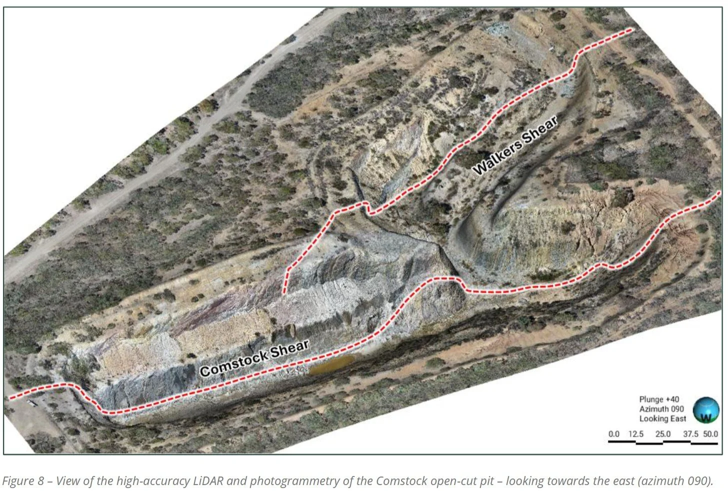
Victorian Geology & Survey Solutions engaged by Aureka to acquire hi red LiDAR data.
Excerpt from Aureka Limited ASX announcement referencing aerial survey work undertaken by VGSS
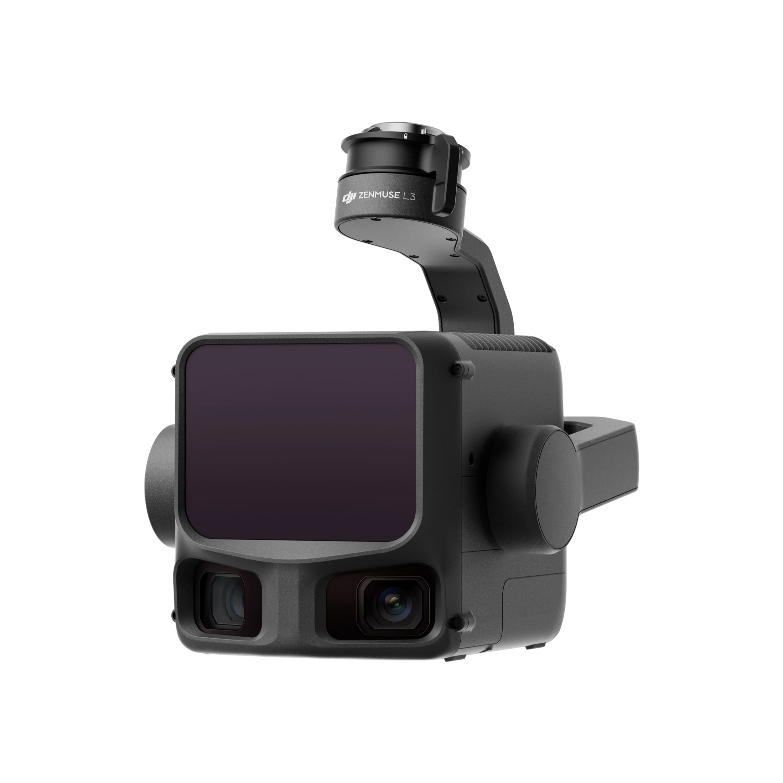
The Future Just Landed: VGSS Ready for DJI’s Zenmuse L3 LiDAR Era
The DJI Zenmuse L3 represents a new era of precision mapping — and at VGSS, we’re already prepared. With the M400 platform and advanced LiDAR processing power, we’re ready to deliver more detail, faster than ever.
Integrating Multispectral Data with Farm Management Software: A Practical Guide
Multispectral imagery is powerful, but when integrated into farm management software, it transforms into a decision-making tool. Learn how VGSS helps Victorian farmers connect crop health maps with everyday operations.

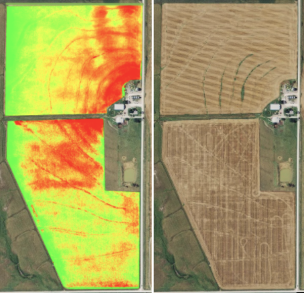
How Multispectral Imagery Can Help Your Farm
Multispectral imagery is transforming agriculture by giving farmers a clearer picture of crop health. From detecting stress early to optimising water and nutrient use, this technology helps boost yields, cut costs, and improve sustainability across Victoria’s farms.

Historic M8.8 Earthquake in Kamchatka, Russia: What It Means for Geoscience
On July 30, 2025, a magnitude 8.8 megathrust earthquake struck offshore Kamchatka—the strongest in over a decade. The quake triggered a Pacific-wide tsunami, historic volcanic eruptions, and a global scientific response.

Pros and Cons of Using RPA-Based LiDAR for Your Next Survey Project
Discover the benefits and challenges of using drone-based LiDAR for survey projects, from speed and safety to accuracy and airspace limitations.

How Terria’s 3D Digital Twins Are Transforming Australia’s Spatial Future
Terria is transforming Australian spatial data into 3D digital twins for smarter planning, infrastructure, and environmental insight.
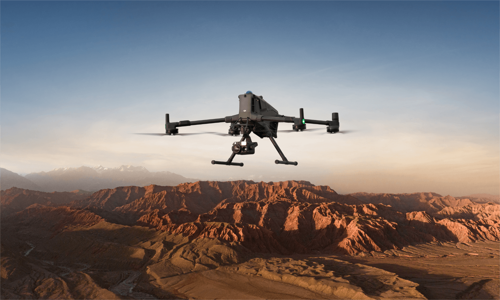
DJI Matrice 400: A New Era for Aerial Surveying
Discover how the new DJI Matrice 400 is redefining aerial surveying and inspection. With extended flight time, advanced obstacle sensing, and support for high-precision LiDAR, this next-gen UAV is built for performance across mining, construction, emergency response, and more.