How Multispectral Imagery Can Help Your Farm
Introduction
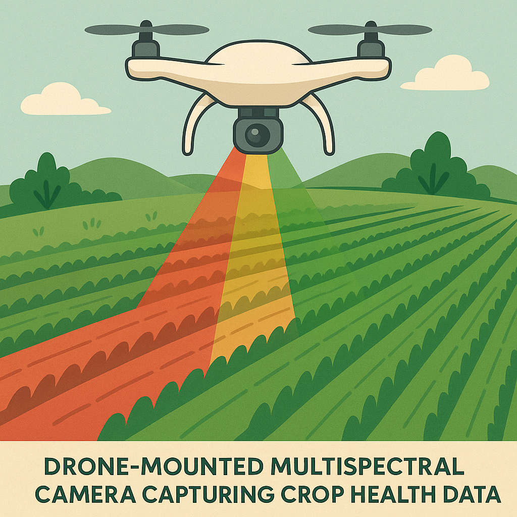
In today’s agriculture, staying ahead means making decisions based on data rather than guesswork. One of the most powerful tools available to farmers is multispectral imagery—captured using drones or satellites. By measuring light beyond what the human eye can see, multispectral cameras reveal critical insights into crop health, soil conditions, and resource use efficiency.
What is Multispectral Imagery?
Multispectral sensors capture light across specific bands of the electromagnetic spectrum—typically visible light (red, green, blue) plus near-infrared (NIR) and red-edge wavelengths. Each band tells a different story:
Red & Green: Leaf coloration and stress detection
Near-Infrared (NIR): Plant cell structure and biomass
Red Edge: Chlorophyll content and photosynthetic activity
Together, these data layers build a detailed picture of plant health and field conditions.
Key Benefits for Farmers
1. Early Detection of Crop Stress
Multispectral imagery can detect subtle changes in crop health long before visible symptoms appear. This includes:
Water stress
Nutrient deficiencies (e.g., nitrogen, phosphorus, zinc)
Pest and disease outbreaks
2. Precision Input Management
By mapping variability across a paddock, farmers can:
Apply fertilizer only where it’s needed
Adjust irrigation schedules
Target herbicide or pesticide applications
This reduces costs while boosting yields and sustainability.
3. Optimising Irrigation
NIR imagery highlights areas of poor water uptake or stress. Farmers can use this to fine-tune irrigation systems, saving water while maximising plant growth.
4. Yield Forecasting
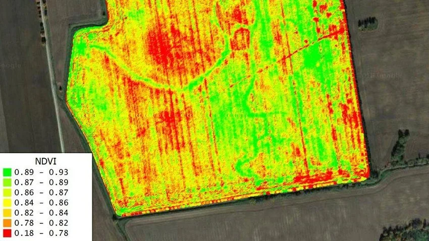
Vegetation indices like NDVI (Normalized Difference Vegetation Index) and NDRE (Normalized Difference Red Edge) give strong indicators of biomass, canopy development, and potential yield.
5. Land & Soil Management
Multispectral imagery can also be used to assess bare soil conditions, erosion risks, and compaction—supporting long-term land health.

Practical Applications in Victoria
Here in the Geelong district and broader Victoria, multispectral drone surveys are proving valuable for:
Viticulture: Monitoring vine vigour for premium wine production
Broadacre Cropping: Identifying nitrogen variability in wheat, canola, and barley
Horticulture: Managing irrigation in orchards and vegetable farms
Forestry: Assessing plantation health and predicting growth cycles
Why Partner With VGSS?
At VGSS, we combine high-precision drones with advanced multispectral sensors to deliver actionable insights for farmers. Our services include:
Regular crop health monitoring flights
Detailed NDVI/NDRE maps and reports
Integration with farm management software
Advice on targeted intervention strategies
We don’t just deliver imagery—we deliver decisions you can act on.
Key Takeaways
Multispectral imagery gives farmers a new perspective on crop health.
It supports early stress detection, precision input use, and better yields.
VGSS provides professional multispectral surveys across Geelong and Victoria.