Pros and Cons of Using RPA-Based LiDAR for Your Next Survey Project
What is RPA-Based LiDAR?
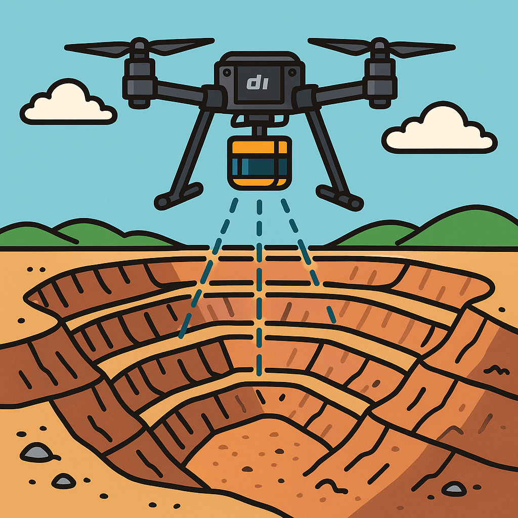
LiDAR (Light Detection and Ranging) is a remote sensing technology that uses laser pulses to measure distances to the Earth’s surface. When mounted to an RPA (Remotely Piloted Aircraft), it becomes a powerful aerial surveying tool capable of collecting highly detailed 3D spatial data quickly and accurately.
Used across industries such as mining, construction, agriculture, and environmental monitoring, drone-mounted LiDAR is changing the way we approach surface and terrain modelling.
The Pros of Using RPA for LiDAR Surveys
1. Speed and Efficiency
LiDAR-equipped drones can cover areas much faster than traditional ground crews—cutting survey time from days to hours.
2. Access to Difficult Terrain
RPA allows surveyors to safely collect data from inaccessible or hazardous locations without physically entering the area.
3. High-Resolution, Accurate Data
Modern drone-based LiDAR systems can achieve 2–5 cm accuracy, suitable for most design and engineering and earthworks design applications.
4. Cost-Effective for Mid-Sized Projects
For areas under 5,000 hectares, RPA-based LiDAR can offer a more affordable alternative to manned aircraft or ground surveys.
5. Rapid Turnaround
Processed LiDAR datasets can often be delivered within 1–3 days, enabling faster decision-making and planning.
The Cons and Limitations
1. Weather Dependency
Rain, wind, and cloud cover can interfere with both flight and data quality, leading to delays or rescheduling.
2. Regulatory Restrictions
Flights must comply with CASA regulations, especially in controlled airspace or for BVLOS operations.
3. Battery Life and Range
Most RPAs have a flight time limit of 25–50 minutes per charge, which can affect coverage of larger sites.
4. Setup and Control Requirements
Achieving survey-grade data requires proper planning, including GNSS corrections (RTK/PPK) and sufficient ground control.
5. Equipment and Processing Costs
Owning the gear and processing software requires capital investment—though hiring experienced operators offsets this burden.
Is RPA-LiDAR Right for Your Project?
This technology is well-suited for:
Mine site and topography updates
Earthworks volume measurements
Corridor and vegetation mapping
Construction progress documentation
Lease boundary and compliance surveys
However, traditional or hybrid methods may still be preferred for long linear infrastructure jobs or dense urban environments.
Final Thoughts
RPA-based LiDAR provides a safe, efficient, and accurate way to collect geospatial data across a wide range of industries. While it’s not the perfect tool for every situation, in the right conditions, it can significantly reduce costs and turnaround time—without compromising on accuracy.
Need Aerial LiDAR for Your Next Project?
At Victorian Geology & Survey Solutions, we specialise in RPA-based LiDAR surveys across mining, construction, and environmental sectors. Whether you need high-resolution elevation models, lease boundary validation, or a complete surface scan—our certified team delivers precision, speed, and compliance.
Get in touch today through our online portal